Overview
2/4/22-2/10/22: The month of February has slowed down considerably as action in the North Pacific hasn’t been aimed well towards SoCal and strong upper level high pressure has been centered over much of the Eastern NPAC. As a result, SoCal will continue to see little surf from the WNW, and warm/dry conditions are expected to persist for much of February.
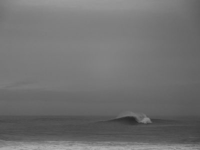
The surf will be similar to last week, with no major swells to report. It’s going to be pretty small out there all week long, but with the potential of seeing a bit more substance during the workweek. Through the weekend just minor NW swell shows along with a touch of Southern Hemi. Starting Monday the 7th and through the end of the forecast, some rideable NW swell will show and some locally fun sized Southern Hemi will fill in. Depending on the location, this early season Southern Hemi will be the dominant swell and actually pretty fun for select southerly focal points.
For February standards a fairly warm and dry week is on the way. Although not welcomed news for our drought situation and rapidly declining Sierra snowpack, the days will be super nice with pristine morning conditions. To start off the forecast on Friday the 4th, we will see yet another moderate Santa Ana wind event. All week we will see light to moderate offshore winds in the morning hours, followed by a light onshore sea breeze most afternoons. The mornings will be a bit chilly through the weekend, but will warm into the workweek as our February heat builds in. We could see high temperatures in the upper 70s all the way to the coast by mid week. Overall, it will be a good week to get in the water if you’re looking for friendly surf and clean conditions.
Best Bets
– Small over the weekend, but clean morning conditions.
– A little bit bigger Monday/Tuesday as both NW and south swell pulse up.
– NW swell drops off, but south swell keeps things fun Wednesday/Thursday.
– Warmer than average temperatures all week along with clean conditions.
Day to Day Breakdown
Friday the 4th: 1-3 feet
Just a small mix of NW and south swell. Moderate offshore flow is expected for the morning, then most areas should see wind turn onshore in the afternoon. Early morning will start off pretty chilly.
Saturday the 5th: 1-3 feet
Almost a repeat of Friday, with just a bit more NW swell in the water. So another small, clean morning that could still be fun on a longboard. Offshore wind in the morning is lighter, followed by an onshore sea breeze in the afternoon.
Sunday the 6th: 2-3 feet
The slow building trend begins, although it will still be fairly small out there. A mix of new NW and Southern Hemi will both show best later in the day. The morning will see light offshore wind across most of the region, followed by more afternoons onshores. Slight chance of seeing these afternoons onshores a touch or two lighter than Saturday.
Monday the 7th: 2-3+ feet
One of the better days in the week as the small but fun combo of NW and south swell shows. The morning will be the best call as winds stay nice and calm before some texture gets on it. A good day to target if looking for a surf and don’t mind the smaller size.
Tuesday the 8th: 2-3+ feet
Another fun day of small combo swell. Exposed breaks that get in on the NW and south swell will be best. Just like Monday, target the morning as conditions start off clean.
Wednesday the 9th: 2-4 feet
NW swell will drop off a touch showing rideable surf, as more south swell rolls in. Overall size will pick up a notch as that new Southern Hemi shows. The morning will see cleanest conditions. One of the warmer days in the week as high temps approach the mid 70s.
Thursday the 10th: 2-4 feet
Leftovers of NW swell, and south swell continues. Should be another day to track down some peaks. As of right now the winds are looking favorable with the chance of seeing more offshore wind. Another warm day is expected too.
Long Range Forecast
The slow February is here. The long range is not looking good in terms of any substantial WNW groundswell. On the bright side, the South Pacific has already been stirring, and looks to continue that way this week. We are right around the corner from the time of year we start to see bigger pulses of Southern Hemi too.
Looking ahead into the rest of the month in terms of precipitation, that isn’t looking good either. In fact, it’s actually quite remarkable to see this strong of a dry signal from the models during our wettest time of the year. We still have some time to see a change back to a wetter pattern later this winter and into Spring.
– Jax Richards @jax6street
If you’d like to receive these day by day forecasts every week, sign up for our newsletter